2025 Annual GeoChallenge
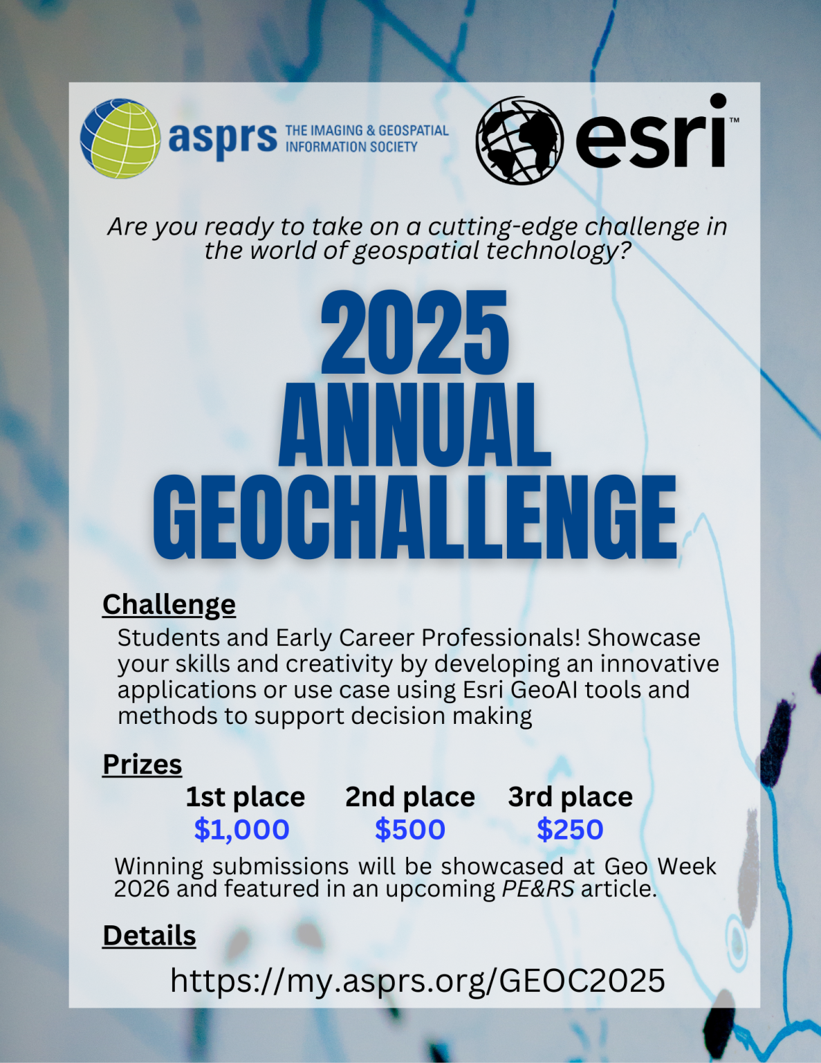
Are you ready to take on a cutting-edge challenge in the world of geospatial technology? The American Society for Photogrammetry and Remote Sensing (ASPRS) is partnering with Esri® to bring you an exciting contest focused on GeoAI! This is your chance to showcase your skills and creativity by developing an innovative application or use case using Esri GeoAi tools and methods to support decision making.
Who Can Enter?
- ASPRS Student Members and Early Career Professional Members with 2 years or less of full-time employment in the geospatial profession. Participants may team together for one submission and split the prize money if applicable.
- Esri® employees or immediate family members are not eligible
Why Enter?
- Compete for Cash Prizes: Top entries will be awarded cash prizes.
- Gain Recognition: Winners will be showcased at Geo Week and featured in a Highlight Article in PE&RS.
- Expand Your Skills: Work with cutting-edge AI technology and help address the community need for use cases and remote sensing.
- Learn Industry Tools: Get experience performing GeoAI workflows and sharing your results using the ArcGIS platform. Work with experts from Esri to get assistance with your project and learn best practices.
Key Dates:
- Deadline for Submission is January 5, 2026
- Judging results will be announced on February 2, 2026
Winners to be showcased at Geo Week, February 16-18, 2026
Prizes:
- $1,000 for First Place
- $500 for Second Place
- $250 for Third Place
- Prize winning submissions will be displayed at Geo Week 2026 and highlighted in an article published in PE&RS in Spring 2026.
Get Ready to Innovate!
As the type and amount of remote sensing data becomes more available, we are seeing a natural merging of the imagery and GIS communities. The business enterprise systems of the future will be more interconnected, intelligent, and user-friendly, empowering individuals and organizations to make data-driven decisions in a rapidly changing world. Imagery and remotely sensed data are the foundation for these future systems, and GeoAI applications will be the technology that connects these groups together.
GeoAI (Geospatial Artificial Intelligence) is the integration of artificial intelligence (AI), machine learning (ML), and deep learning (DL) with geospatial data and GIS (Geographic Information Systems). It enables organizations to analyze, predict, and solve complex spatial problems by leveraging advanced algorithms and geospatial insights. GeoAI is transforming industries by addressing challenges and optimizing operations. Some notable applications include:
- Urban Planning and Public Safety: Governments use GeoAI to model urban development impacts, predict traffic accidents, and optimize emergency response times
- Precision Agriculture: Automates the field delineation and detection of invasive species and optimizes crop yields.
- Infrastructure Management: Helps monitor road deterioration and identify land-use changes
- Insurance and Disaster Management: Speeds up damage assessment and claim processing using imagery and AI
- Business Intelligence: Enhances market planning, site selection, and customer behavior analysis
The Challenge
The goal of the 2025 GeoChallenge is to leverage the skills and creativity of the ASPRS students and professionals by encouraging the development of applications using remotely sensed data and Esri GeoAI tools. Participants will apply pre-trained models and analysis workflows to create decision-ready spatial content—whether it’s extracting features for infrastructure planning, detecting changes in land use, classifying structures for policy or permitting, or mapping environmental trends.
Most community members should have access already to the Esri GeoAI suite of tools via their institutional organizations. Esri may provide temporary licenses for this project on a case-by-case basis for those who are not currently covered. The pre-trained models, GeoAI libraries, and input data for training is included as part of the Esri product line. User workflows and data must be sharable and provided as part of the final submission via a publicly shared Esri Storymap.
What We’re Looking For:
- Creative Solutions: Show us how remote sensing data is the foundation for solving meaningful business challenges.
- Innovative Applications: Use the extensive ArcGIS spatial analysis tools to enhance your results
- Work with a Variety of Data Types: Leverage the extensive library of curated data sources found within the Esri Living Atlas and open data catalogs.
Don't miss this opportunity to put your skills to the test and make a significant impact in the remote sensing community. Start your project today by submitting your registration information. After September 1, 2025 you will have access to additional resources and training materials for this event.
Deep Learning Pretrained models in Living Atlas: https://livingatlas.arcgis.com/en/browse/?q=dlpk#q=dlpk&d=2
Try Deep Learning in ArcGIS Tutorial Series: https://learn.arcgis.com/en/paths/try-deep-learning-in-arcgis/
The Webinars
The purpose of this webinar is to introduce GeoAI in ArcGIS for the audience, especially for individuals participating in the competition. This webinar will be followed by QA session on the later date.
Webinar: Unlocking the Power of GeoAI in ArcGIS
Description:
GeoAI—Geospatial Artificial Intelligence—is transforming how we analyze spatial data, detect patterns, and make informed decisions. This webinar is designed for participants of the 2025 ASPRS GeoChallenge to introduce the capabilities of GeoAI in ArcGIS and inspire innovative applications in their competition projects. Others are welcome to attend as well.
In this webinar you will learn
- Understand what GeoAI is and how it integrates with ArcGIS
- Explore real-world examples of GeoAI
- Options to perform GeoAI in ArcGIS
- Discover how to share your results publicly using ArcGIS Storymap
Logistics:
Webinar: QA Sessions
The purpose of the QA session is to provide webinar participants with an opportunity to pose questions regarding the technology and the 2025 ASPRS GeoChallenge.
Logistics:
Go to this website for more details: https://my.asprs.org/GEOC2025