The ASPRS Student Chapter at Oregon State University promotes the advancement and responsible use of photogrammetry, remote sensing, and geospatial technologies through hands on learning, research engagement, and professional development. We organize technical workshops and training sessions focused on tools and methods such as terrestrial laser scanning, lidar, UAV based data acquisition, GIS, 3D modeling, and geospatial data analysis using Python and related software.
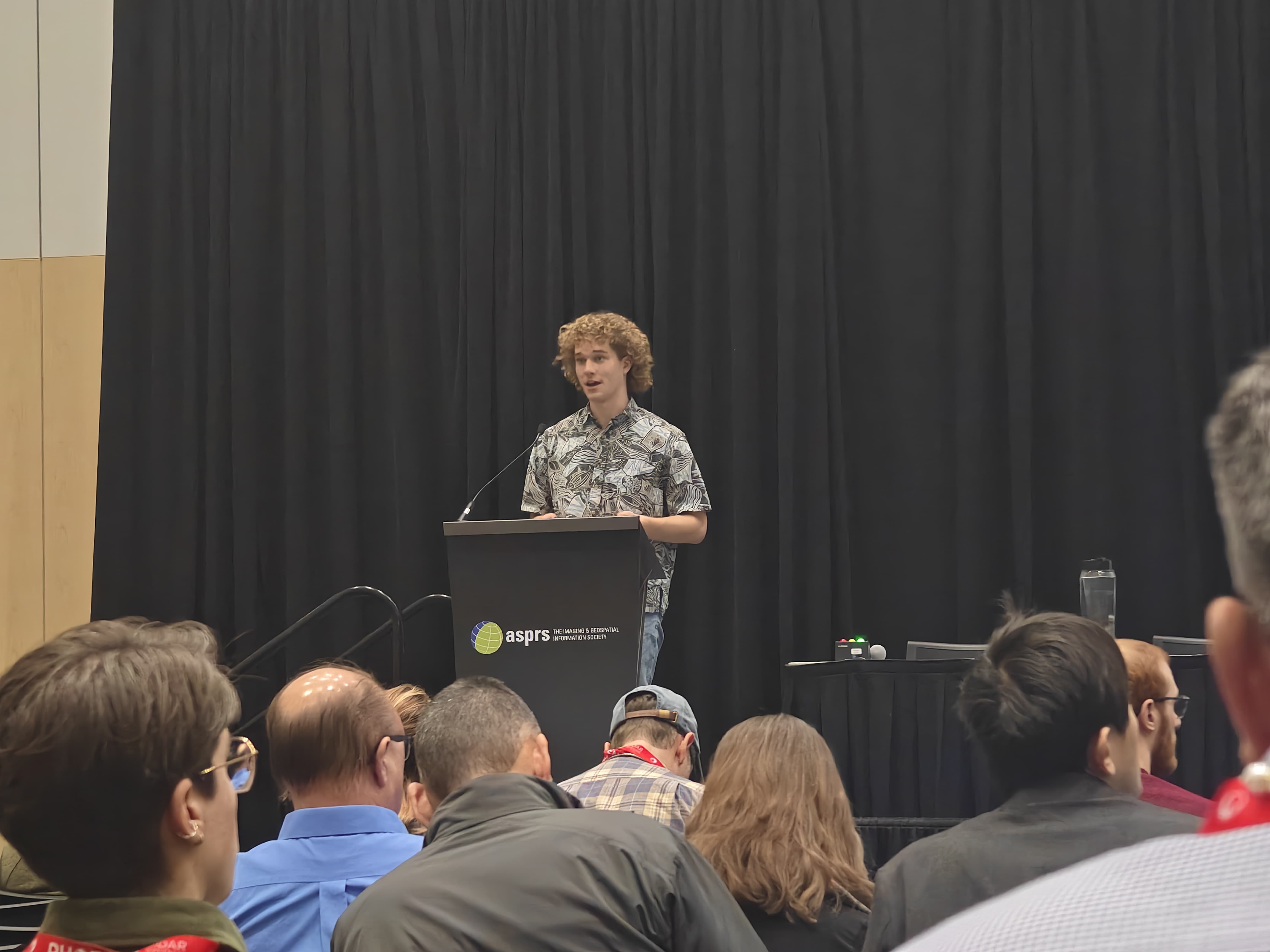
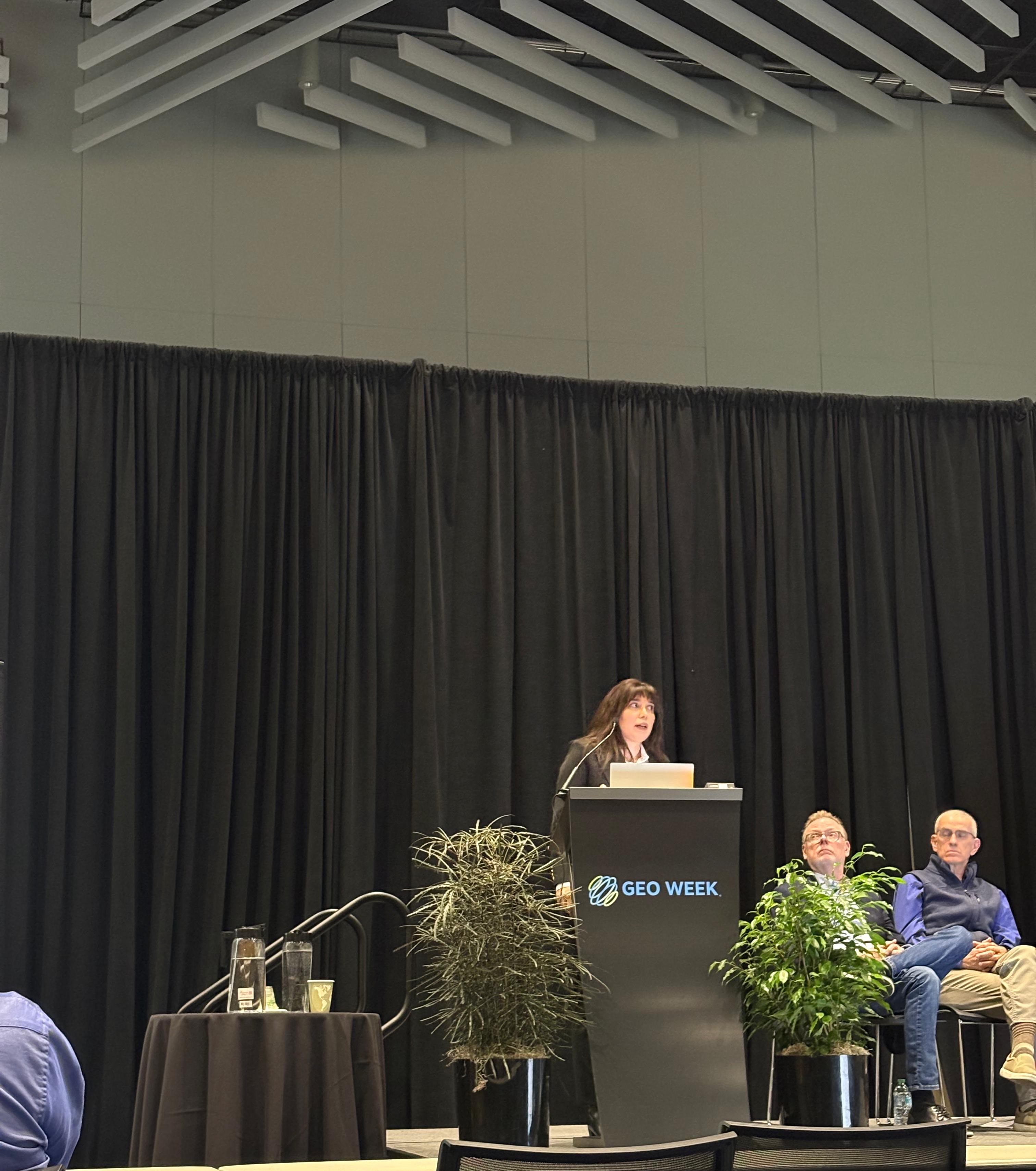
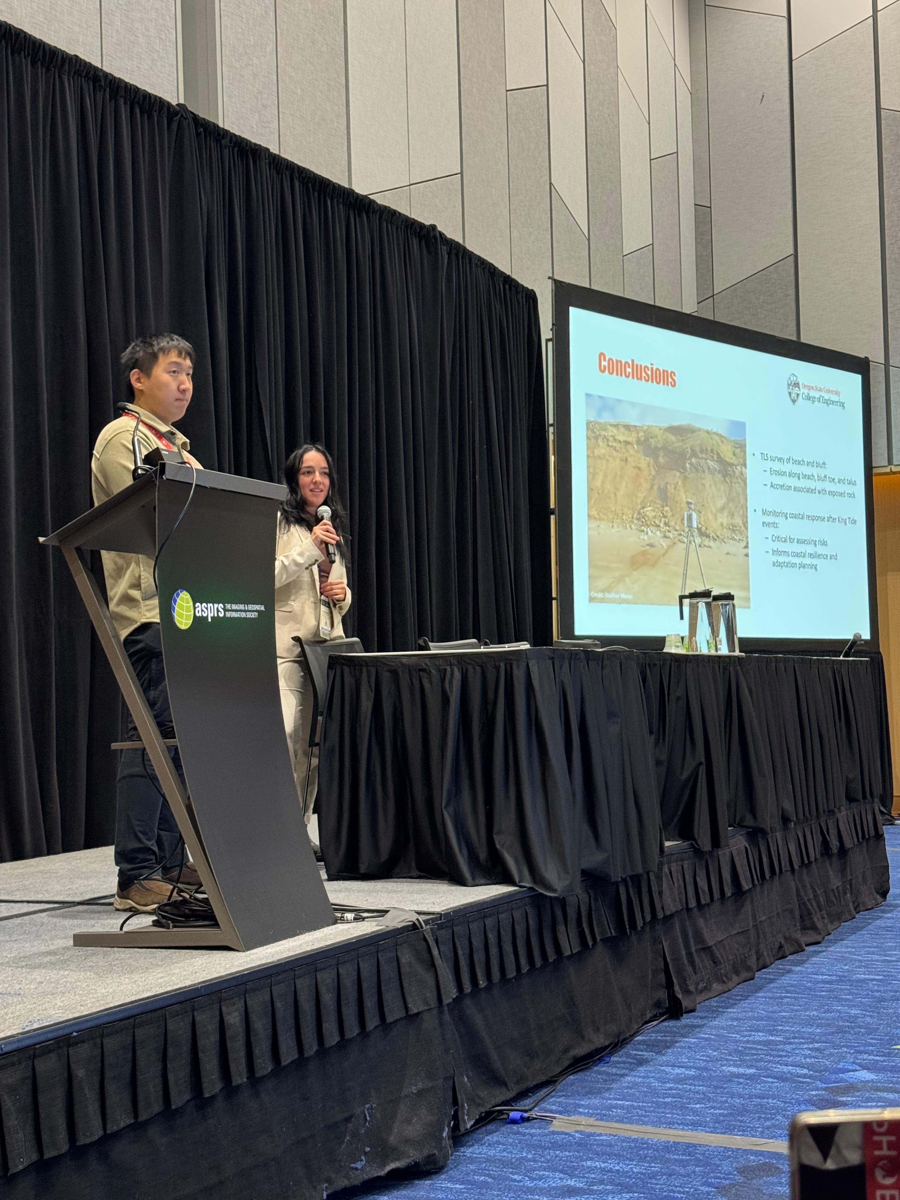
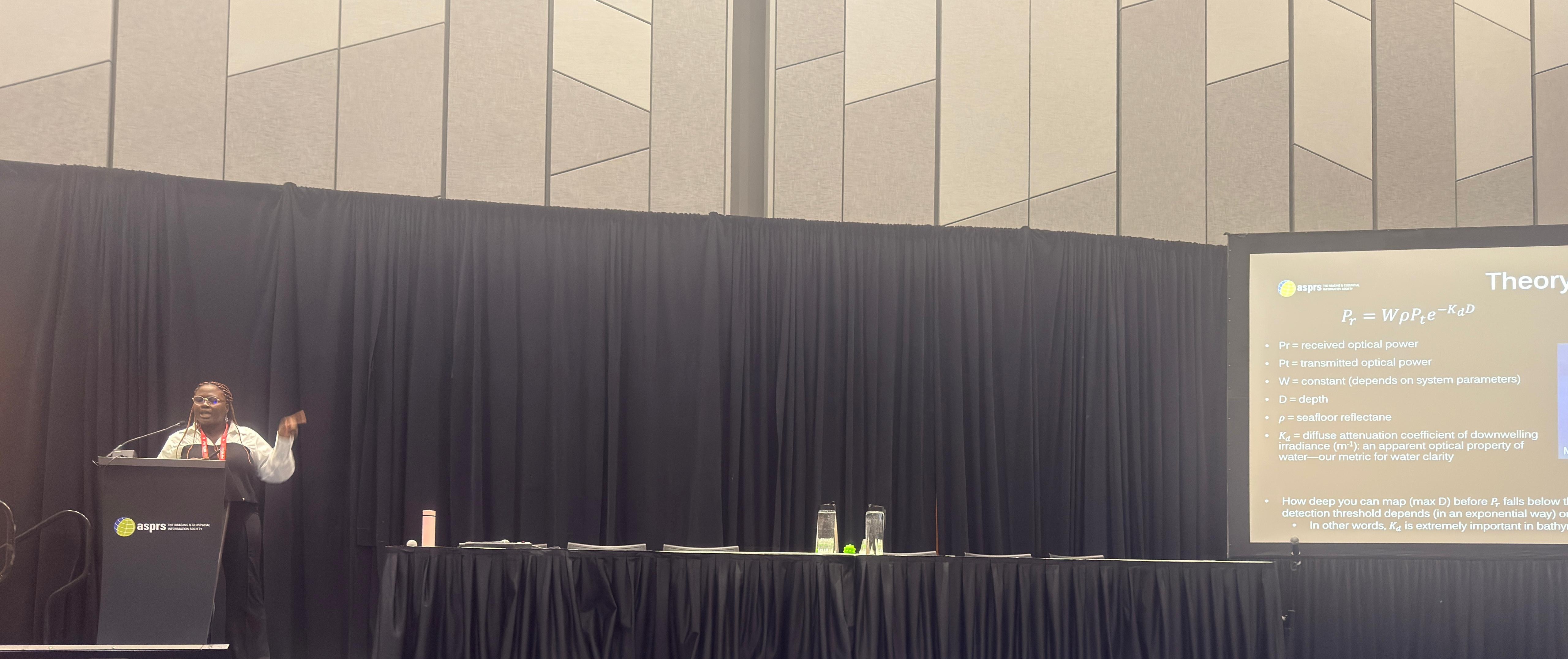
We actively support student research by fostering collaboration across disciplines, sharing technical expertise, and encouraging participation in conferences, publications, and ASPRS sponsored activities. Chapter members engage in applied research projects that address real world problems in areas such as infrastructure monitoring, environmental analysis, land use, and Earth observation.
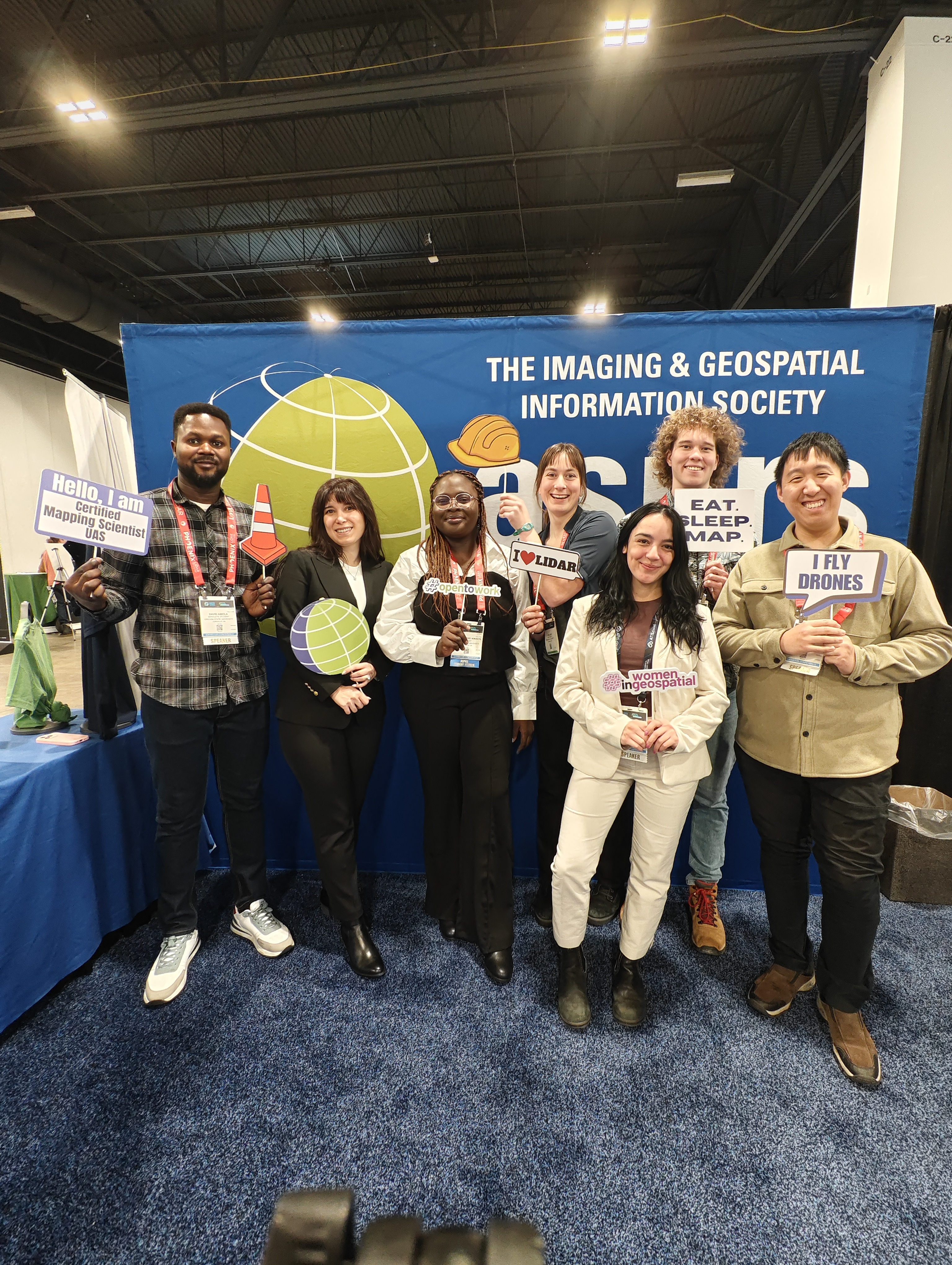
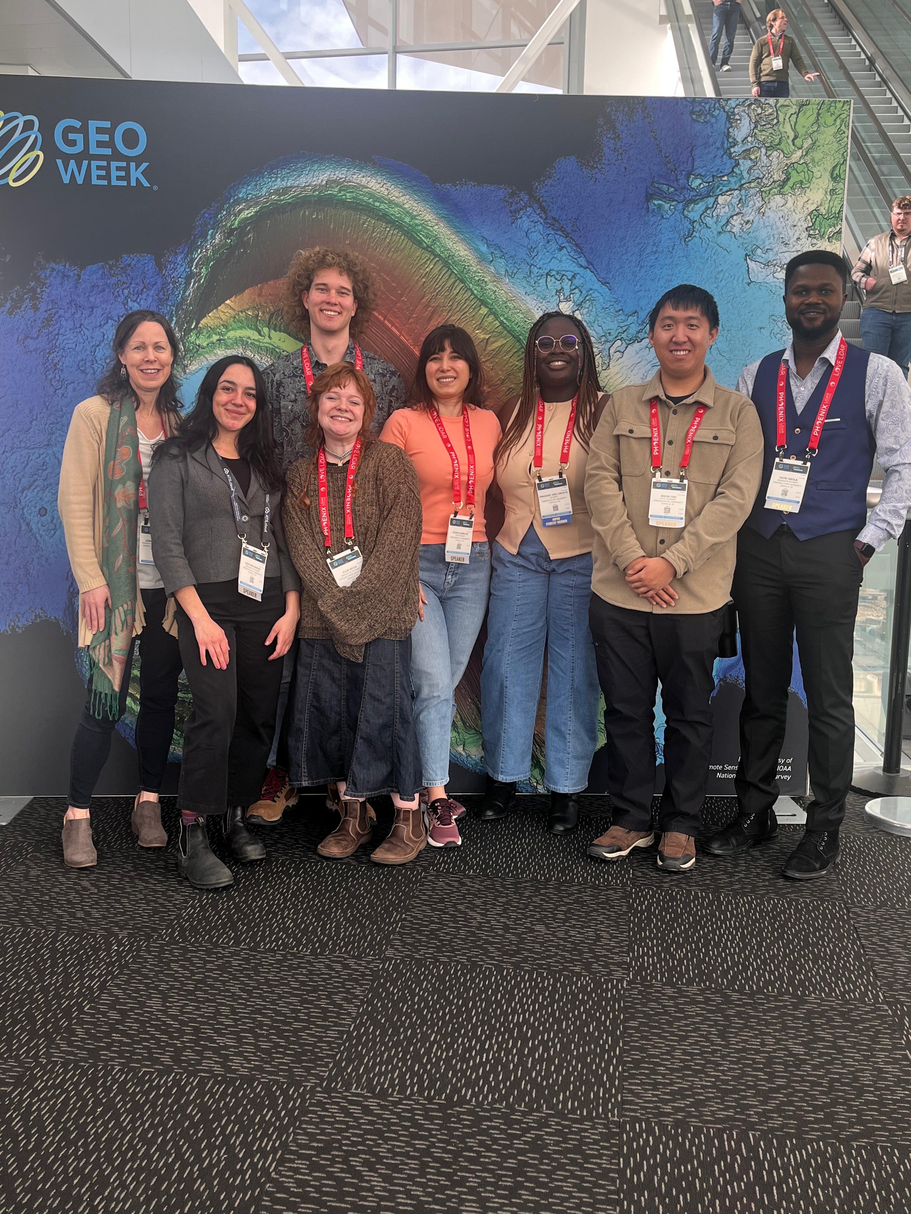
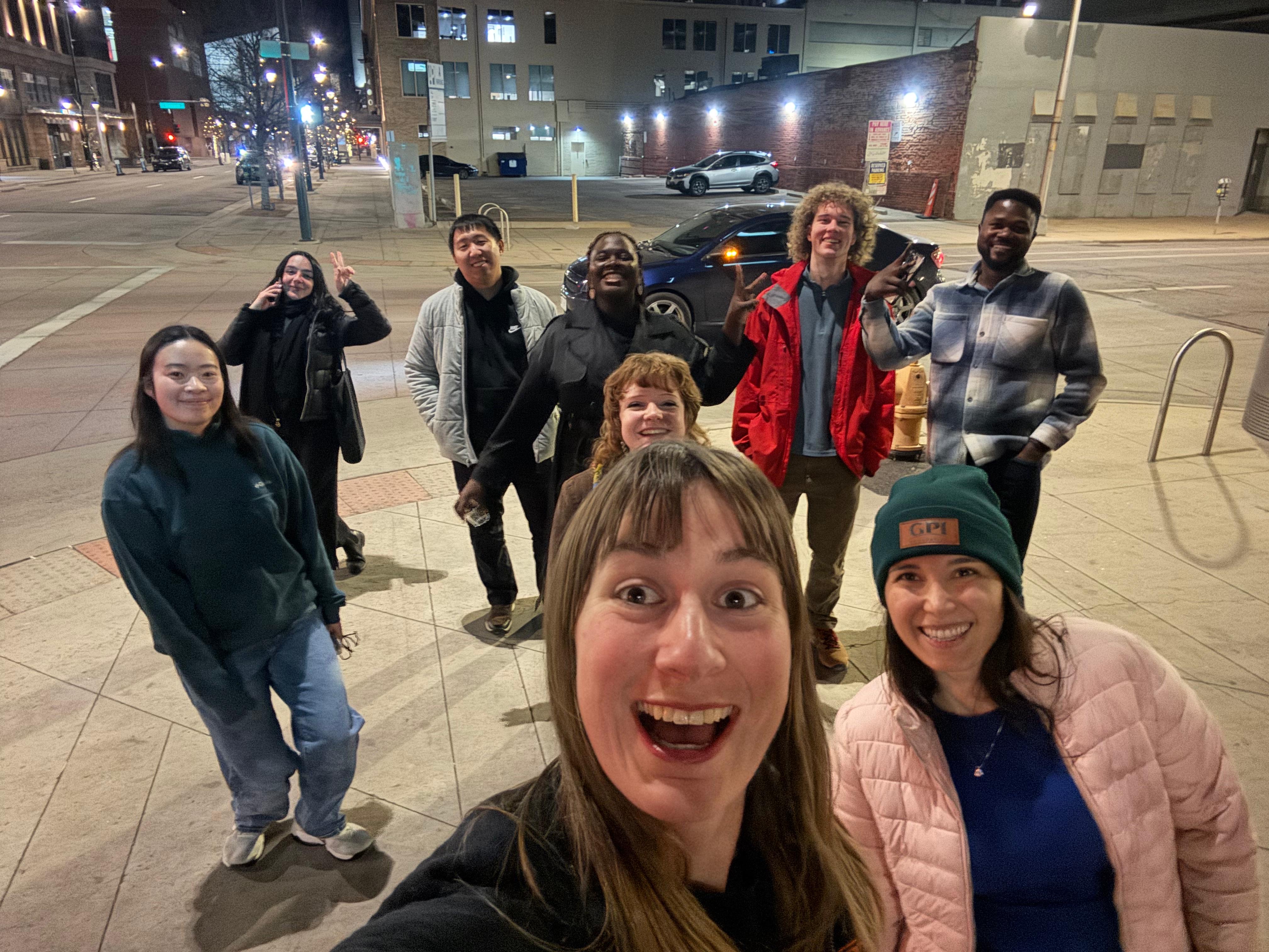
The chapter also emphasizes professional and industry engagement by hosting guest lectures, technical talks, and networking events with professionals from industry, academia, and government agencies. These activities help students understand current geospatial workflows, explore career pathways, and connect with potential employers.
In addition, we participate in community outreach and knowledge sharing by promoting geospatial literacy and demonstrating the societal value of photogrammetry and remote sensing. Through these efforts, the chapter supports the ASPRS mission of advancing geospatial science, fostering professional excellence, and preparing the next generation of geospatial professionals.